

DJI Mavic 3 Enterprise Series
Your Everyday Commercial Drone
The Mavic 3 Enterprise Series redefines industry standards for small commercial drones. With a mechanical shutter, a 56× zoom camera, and an RTK module for centimeter-level precision, the Mavic 3E brings mapping and mission efficiency to new heights. A thermal version is available for firefighting, search and rescue, inspection, and night operations.
![]()
Compact and Portable
![]()
4/3 CMOS Wide Camera
![]()
56x Hybrid Zoom
![]()
640 x 512 px Thermal Camera
![]()
45-min Max Flight Time
![]()
DJI O3 Enterprise Transmission
![]()
Centimeter-level Positioning with RTK
![]()
High-Volume Loudspeaker
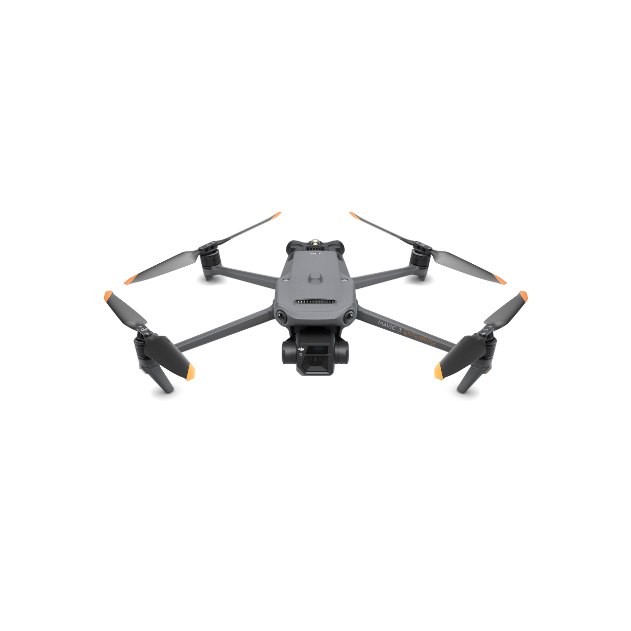
Compact and Portable
Streamlined and compact, Mavic 3 Enterprise Series can be carried in one hand and deployed at a moment’s notice. Perfect for beginner and veteran pilots alike, it’s built to perform on lengthy missions.
Two Models, Countless Applications
| DJI Mavic 3E | DJI Mavic 3T |
|---|---|
| Wide: 4/3 CMOS, 20MP, Mechanical Shutter
Tele: Equivalent Focal Length: 162mm, 12MP, 56× Hybrid Zoom |
Wide: Equivalent Focal Length: 24mm, 48MP
Zoom: Equivalent Focal Length: 162mm, 12MP, 56× Hybrid Zoom Thermal [2]: DFOV: 61°, Equivalent Focal Length: 40mm, Resolution 640 × 512 |
| SKU: 267700/267701/267702/ | SKU: 267697/267698/267699 |
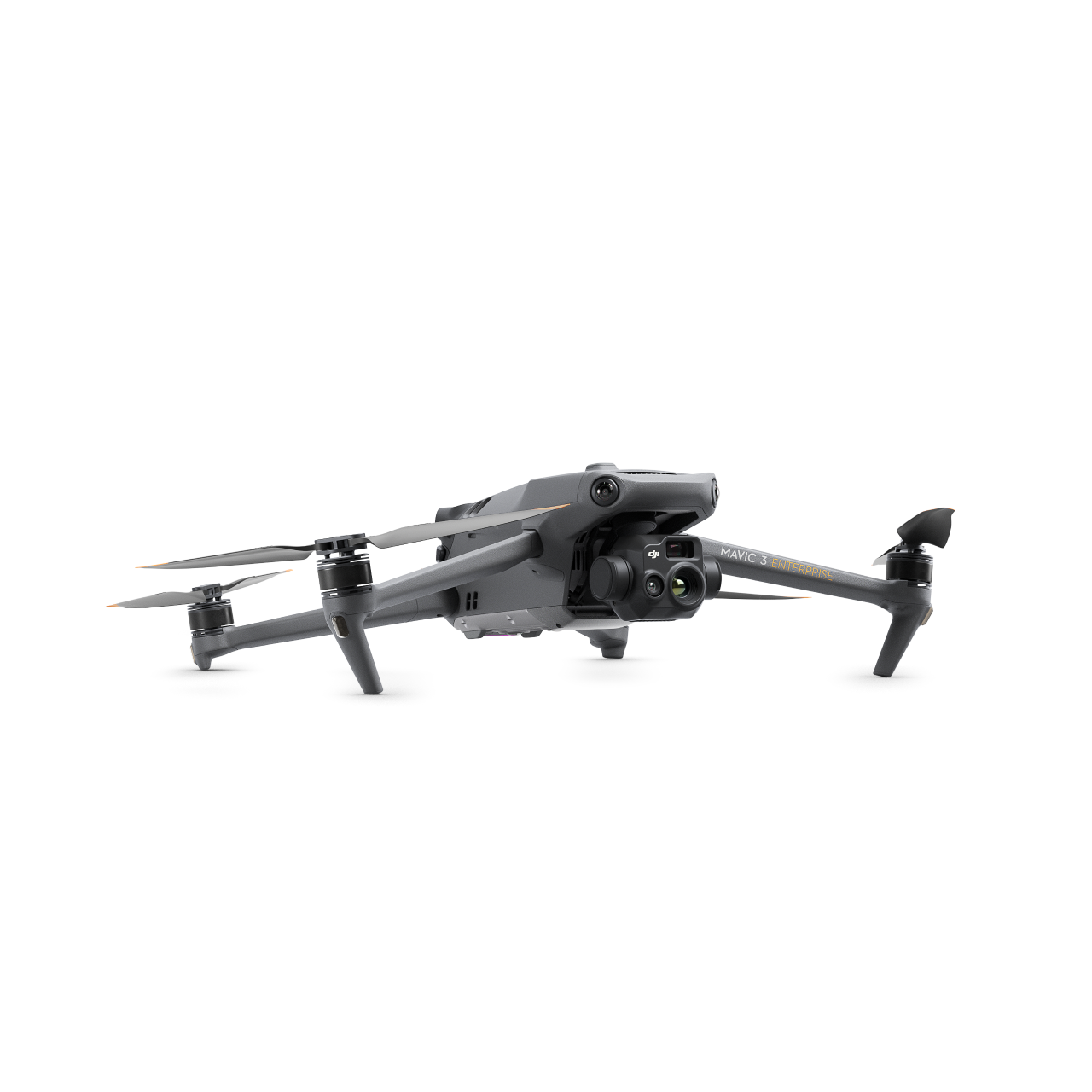
Premium Camera Performance
Survey with Speed
Mavic 3E’s wide-angle 4/3 CMOS, 20MP sensor has a mechanical shutter to prevent motion blur and supports rapid 0.7-second interval shooting. Complete mapping missions with extraordinary efficiency without the need for Ground Control Points.
Improved Low-Light Performance
Mavic 3E’s Wide camera has large 3.3μm pixels that, together with intelligent low-light mode, offer significantly improved performance in dim conditions.
Focus and Find
Both Mavic 3E and Mavic 3T are equipped with a 12MP Zoom Camera, supporting up to 56× Max Hybrid Zoom to see essential details from afar.
See the Unseen
Mavic 3T’s thermal camera has 640 × 512 resolution and supports point and area temperature measurement, high temperature alerts, color palettes, and isotherms to help you find your targets and make quick decisions.
Simultaneous Split-Screen Zoom
Mavic 3T’s thermal and zoom cameras support 28× continuous side-by-side zoom for easy comparisons.
Exceptional Operational Efficiency
Batteries Optimized For Endurance
45-min flight durations let you cover more ground each mission, for surveying of up to 2 square kilometers in a single flight.
Max Flight Time:
45 Minutes
Surveying Area in a Single Flight:
2 Square Kilometers
Fast charge batteries with 100W charging hub, or directly charge the drone with 88W fast charging.
Charging Hub:
100W
Aircraft:
88W

Next-Generation Image Transmission
Quad-antenna O3 Enterprise Transmission enables more stable connections in a wide variety of complex environments.
Omnidirectional Sensing for Safe Flying

Equipped with wide-angle lenses on all sides for omnidirectional obstacle avoidance with zero blind spots. Adjust proximity alarms and braking distance depending on mission requirements.
Advanced RTH automatically plans the optimal route home, saving power, time, and hassle.
APAS 5.0 enables automatic rerouting around obstacles, so you can fly with peace of mind.
Full Software Suite
DJI Pilot 2
A revamped Enterprise flight interface designed to improve piloting efficiency and flight safety. Drone and payload controls can be easily accessed with one tap. Clear presentation of flight details and navigational information improves user experience together with support for various route types.
DJI FlightHub 2
All-in-one cloud drone operations management for your fleet with support for live annotations and cloud mapping for seamless ground-to-cloud synergy. Efficiently manage inspection operations with route planning and mission management.
DJI Terra
Full featured mapping software for all stages of work, from mission planning to processing of 2D and 3D models.
DJI Thermal Analysis Tool 3.0
Analyze, annotate, and process images captured by M3T using DTAT 3.0 to detect temperature abnormalities in your inspections.
User Data Security
- Local Data Mode
- One-Tap Clear All Device Data
- AES-256 Video Transmission Encryption
- Cloud API
Putting Your Data Security First
DJI is driven by the relentless pursuit of making complex technology accessible to all. Nowhere is this commitment more visible than in how we help commercial, civil, and government users around the world to find innovative ways to use our technology, bringing value throughout a wide range of industries.
Given the unique role drones play as a data capture device, we understand how important data security is to our commercial, civil and government customers. That’s why we give our users control over the data they generate. We buttress this commitment by providing in-depth information on how DJI drone platforms protect the data of our customers, and outlining the strategies and processes we use to continually improve information security.
More Info about data security